
Technology Enablement
1- Drone Enabled Pre- and Post-Event Damage Assessments and Asset Inventories
Rapid, Defensible, and Data-Driven Site Intelligence
CSA delivers advanced drone inspection and aerial intelligence services to support insured asset valuations, infrastructure documentation, and pre- and post-disaster recovery.
Our program combines enterprise-grade Unmanned Aerial Systems (UAS) with structured data integration to produce fast, accurate, and audit-ready outputs, giving clients clear visibility into site conditions without the delays, risks, or limitations of traditional inspection methods.
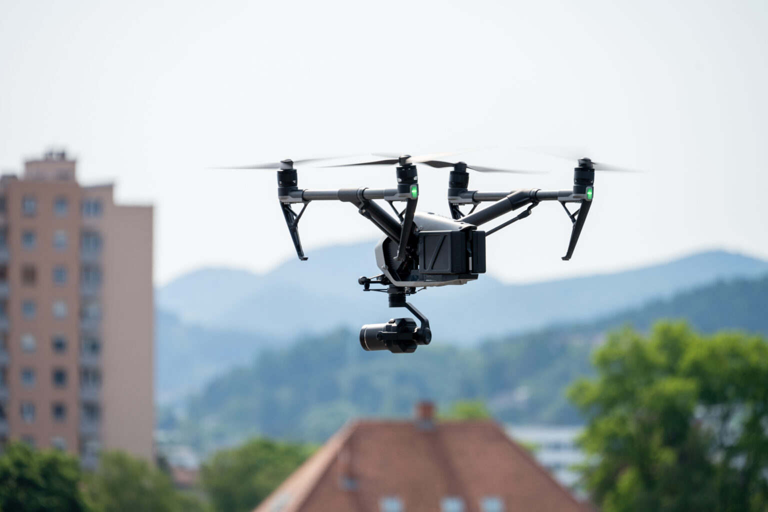
Benefits of Drone-Based Inspections
Traditional inspections are often time-intensive, limited in perspective, and dependent on on-site accessibility.
CSA enhances visibility and reduces risk by capturing comprehensive, high-resolution data from vantage points that are otherwise difficult, or unsafe, to access.
We support clients in:
- Rapid post-disaster damage assessment and site documentation
- Infrastructure inspection without scaffolding, lifts, or manual roof access
- Capturing defensible, geotagged records for funding and insurance validation
- Identifying conditions not visible through standard field inspection
- Establishing baseline site conditions for long-term recovery and mitigation planning
Core Capabilities
Aerial Inspection & Site Capture
Safe, efficient inspection of structures and infrastructure from multiple angles and elevations.
- Roof, tower, bridge, and facility inspections
- Close-range and wide-area capture using stabilized imaging systems
- Obstacle-aware flight and automated mission planning
- Reduced need for manual access in hazardous or compromised environments
High-Resolution Imaging
Clear, detailed imagery designed for accurate condition assessment and documentation.
- High-resolution RGB capture with minimal distortion
- Material condition visibility for structural and surface evaluation
- Consistent, repeatable imaging across large sites
Thermal & Advanced Sensing
Enhanced visibility into conditions not detectable through standard inspection.
- Radiometric thermal imaging for moisture intrusion, insulation gaps, and electrical hotspots
- Identification of subsurface anomalies and heat exchange issues
- Additional sensing capabilities available based on deployment configuration
Mapping, Modeling & Measurement
Structured data capture to support analysis, planning, and validation.
- Photogrammetry-based orthomosaics and site maps
- Surface modeling for debris, stockpile, and excavation volume estimation
- 3D modeling and point cloud generation (when available based on equipment configuration)
- RTK-enabled positioning for high-accuracy spatial data
Geospatial Accuracy & Integration
Data is captured, tagged, and structured for real-world application and defensibility.
- High-accuracy GPS tagging across all imagery and datasets
- RTK and ground control support for enhanced precision
- Outputs aligned for use in FEMA documentation, damage inventories, and funding validation
Rapid Deployment & Field Execution
Designed for speed and responsiveness in active recovery environments.
- Fast mobilization and minimal setup time
- Automated mission planning for consistent data capture
- Real-time monitoring and in-field quality control
Key Deliverables
Integrated Site Inspection Reports
A comprehensive, defensible record combining aerial imagery with ground-level documentation.
- High-resolution visuals with full site context
- Structured documentation aligned with funding and compliance requirements
- Clear, organized outputs for internal teams, auditors, and funding agencies
Orthomosaic & Site Mapping Outputs
Georeferenced, high-resolution site maps for planning, validation, and reporting.
- Survey-grade orthomosaics with consistent coverage
- Accurate site-wide visualization for damage assessment and tracking
Thermal Imaging Outputs
Temperature-calibrated imagery to identify hidden conditions impacting infrastructure performance.
- Moisture detection and roof saturation analysis
- Electrical and insulation anomalies
- Subsurface irregularities
FEMA & Federal Program Integration
All datasets are structured to support real-world recovery workflows.
- Geotagged and verifiable documentation
- Alignment with FEMA Public Assistance requirements
- Support for debris validation, damage inventory, and funding justification
Proven in the Field
CSA’s drone program has been deployed across active recovery environments to provide clarity, reduce risk, and strengthen documentation.
From coastal infrastructure inspections to complex site assessments, aerial data has enabled:
- Full-site visibility beyond ground-level limitations
- Safer inspection of compromised or hard-to-reach structures
- Clear, indisputable visual documentation to support decision-making and funding
A Smarter Approach to Field Intelligence
Drone services are not just about imagery—they are about delivering structured, defensible data that improves outcomes across the recovery lifecycle.
CSA integrates aerial intelligence directly into recovery operations, ensuring every dataset serves a purpose: faster decisions, stronger documentation, and more effective recovery execution.